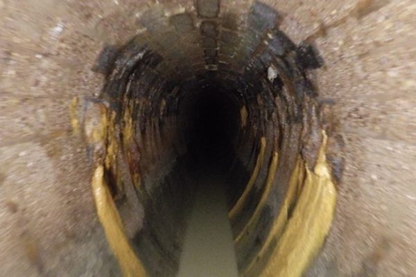
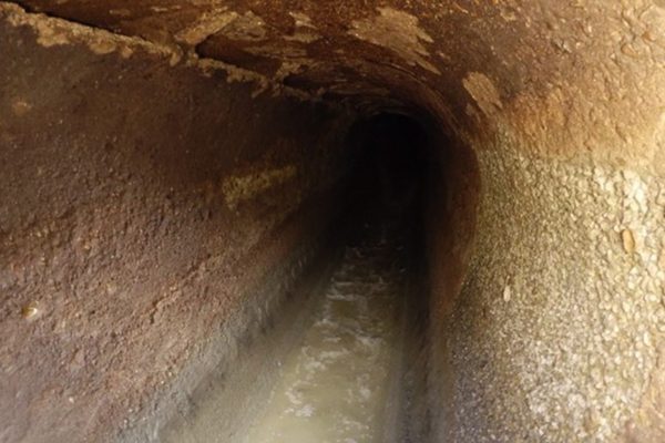
A critical situation arose in a large city centre, when a section of the main sewer line collapsed causing a burst pipe and a 13m sinkhole. With the collapsed sewer servicing large parts of the highly populated city, urgent investigation and resolution was required and InterGroup approached the client to offer our support.
Drone Technology with LiDAR Provides Emergency Assistance
The Project:
The client needed the following:
- An immediate understanding of the root cause of the collapse and the condition of the surrounding assets
- A safe means of accessing this information, with too many unknowns to send in personnel
- Clear visual data from which to derrive the best possible solution
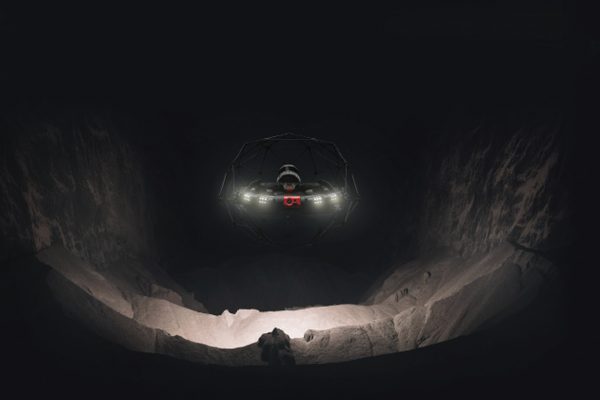
Equipped with cutting-edge drone technology with LiDAR capability, InterGroup offered a proactive and immediate response. When the client confirmed their need for our assistance, we mobilised to site the same day.
Embracing Technology To Enhance Safety And Project Outcomes
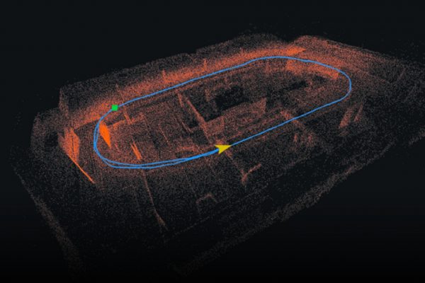
Our state-of-the-art drone eliminated the need for human entry and enabled a comprehensive assessment of the pipe network. Using LiDAR, we precisely located and quantified the volume of rubble, while also identifying additional defects such as pipe holes. These findings offered invaluable insights into the extent of the damage, enabling the asset owner to make informed decisions for efficient and targeted remediation.
InterGroup’s rapid deployment of this advanced drone technology played a pivotal role in delivering a swift and effective solution to this urgent infrastructure challenge.
Pioneering Elliptic Sewer Pipe Assessment Using Cutting-Edge Drone Technology
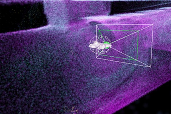
The InterGroup team successfully conducted a comprehensive condition assessment of the Elliptic Sewer Pipe, using our drone equipped with Simultaneous Localization and Mapping (SLAM) technology – a first for New Zealand. The highly sensitive and precarious work involved navigating four sections of the pipe, covering a total distance of approximately 992 meters.
Over a period of a day and a half, the team’s work and outputs surpassed the client’s expectations – gathering all the required information safely and efficiently. The resulting mapping and imagery allowed the client to gain a full understanding of the damage to the pipe, the state of the debris and to identify additional areas of concern to be factored into remediation planning.
InterGroup’s seamless execution, technical expertise, and commitment to safety were vital elements in the overwhelming success of this highly complex, pressured and challenging project.
